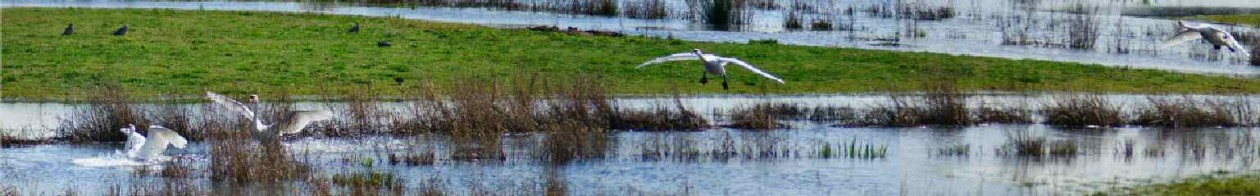
This walk is a loop and could be started from the top, at the car park near Malham Tarn, or the bottom, at Malham or Gordale.
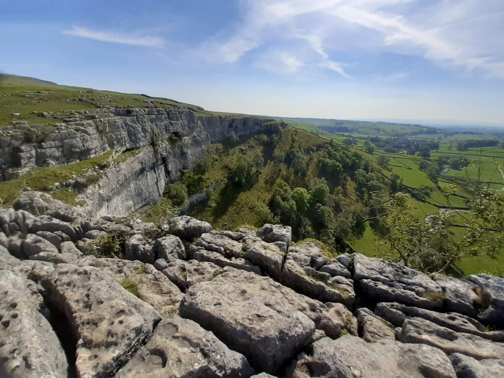
From the Malham Tarn car park, walk a little way westwards along the road across the small stream, and turn left to go southwards on the Pennine Way across the nearly-flat Ewe Moor; the track is well signed all the way. Part of the way you walk gently down a dry valley; there are some short stony sections but with good boots and perhaps a walking pole it’s a delight. After a mile or so, the path takes a bold zig-zag to descent to the top of Malham Cove and its magnificent Limestone Pavement: tiny crustose lichens grow on the hard surface of the clints, and ferns and flowers such as cranesbills flourish in the deep grykes, definitely not places to drop your camera or telephone.
Without taking risks leaning over the vertical cliff, you’ll see the extraordinary sight of the dry waterfall of Malham Cove: during the Ice Age, it was a huge Niagara-sized fall. Actually a small stream emerges at the bottom, but it doesn’t come from straight above but from a different stream that vanishes into the limestone a distance away. In 2015 Storm Desmond briefly resurrected the waterfall, and some lucky people saw the water plunge the whole drop from the smooth overhang.
A gentle grassy path leads eastwards from the limestone pavement (top left of the photo), well back from the cliff edge, and descends gradually to cross the narrow road that winds up the hill (and back to Malham Tarn). The path goes on descending eastwards to Gordale, where it joins the next road just where a convenient ice-cream and refreshments van likes to park. A little way up the road on the left is the well-marked track to Gordale Scar. Its fast-flowing stream is on your left as you walk northwards; gradually you approach the enormous cliffs, until you suddenly round the corner to your right, and you are greeted by the splendid sight of the waterfall in a V-shaped gorge, pouring over a large rock.
If you are adventurous and up for a (simple and short) scramble, you scale the middle of the rock, which has quite big handholds. Once up, you have a delightful walk up the valley and across the moor back to Malham Tarn.
If that is too alarming, you walk back towards Malham Cove, and when you come to the winding road, you follow it for half a mile or so up the hill until you reach the Public Footpath sign on the left; it crosses the moor rather directly to the car park, though in the middle of the moor you have to take the left-hand fork for the shortest way back to your transport.