The Ingleton Waterfalls Trail is on private land, with a fee that includes car parking (it was £7 per person when we did it). The trail has been made one-way for the Covid crisis to enable social distancing, so the only current route is from the car park at Ingleton, up the valley and gorge of the little River Twiss, across the windy moor at the top, and down the gorge of the River Doe back to Ingleton. It’s about 8 kilometres, 5 miles, and takes most people about three hours, as there’s quite a bit of uphill walking and a lot to look at, listen to, and photograph, sketch, or paint according to your taste.
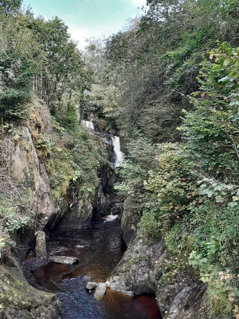
Where much of the Yorkshire Dales scenery is (white) limestone, the rocks here also include reddish sandstone and striped bluish or greenish shale and slate. The sandstone is a hard, massive, blocky rock that causes the rivers to run in narrow gorges. The slate, like the slates on many local rooftops quarried from the area, is a hard, waterproof, compressed (metamorphosed) rock that splits into flat sheets at an angle to the layers of mud from which it was originally formed; it forces the rivers into waterfalls. The rocks are up to about 500 million years old.
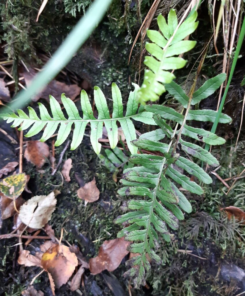
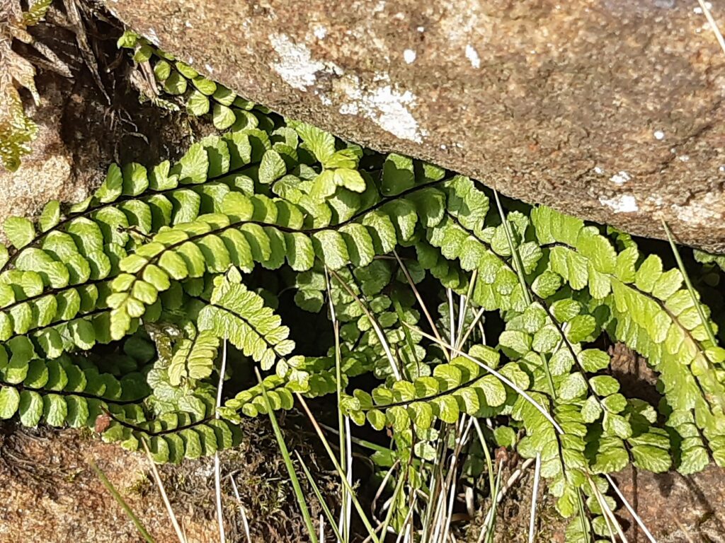
The walk begins up through the pretty wooded Carboniferous limestone “glen”, with a canopy of Ash trees and undershrubs especially of Hazel. The forest floor is carpeted with Bluebells in wet places, Dog’s Mercury where it’s drier, and plenty of handsome mosses and ferns.
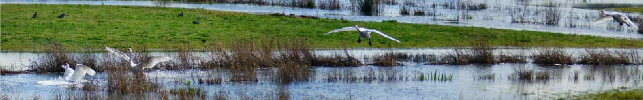
The valley narrows into a gorge, with the river swirling with natural foam in interesting vortex streets against the dark brown peaty water. The foam is created by the action of the waterfalls on soapy chemicals from moorland plants; there is no pollution here.
The five Pecca Falls are already spectacular to eye and ear; I had fun making a video of the rushing water from two converging falls.
Up at the top is Thornton Force — the Norse word for waterfall is “Fors”, so this is another instance of Viking influence, along with familiar local placename elements like Dale from Norse “Dal”, valley and all the towns and villages whose names end in -by, from “By”, village. It is an attractive place for a picnic, sheltered from the wind, with the beautiful fall and nice flat rocks to sit on.
The path climbs out of the now very small Twiss valley, and crosses the open moor eastwards to the valley of the River Doe.
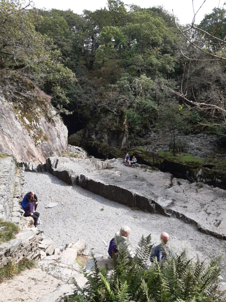
The path winds down quite steeply, while the river is sometimes so deep in its narrow gorge that you can’t actually see down to the water! There are more attractive waterfalls, and several slate quarries: you can see exactly where the quarrymen split off flat slabs of rock.
The path drops into Ingleton with its cosy shops, cafes and restaurants, not to mention its impressive but disused railway viaduct high above. Just keep going downhill to cross the river at a low stone bridge, and the car park is right around the next corner.