Category Archives: Walks

LWT Nature Walk at Hutchinson’s Bank

GT LWT group setting off into the reserve

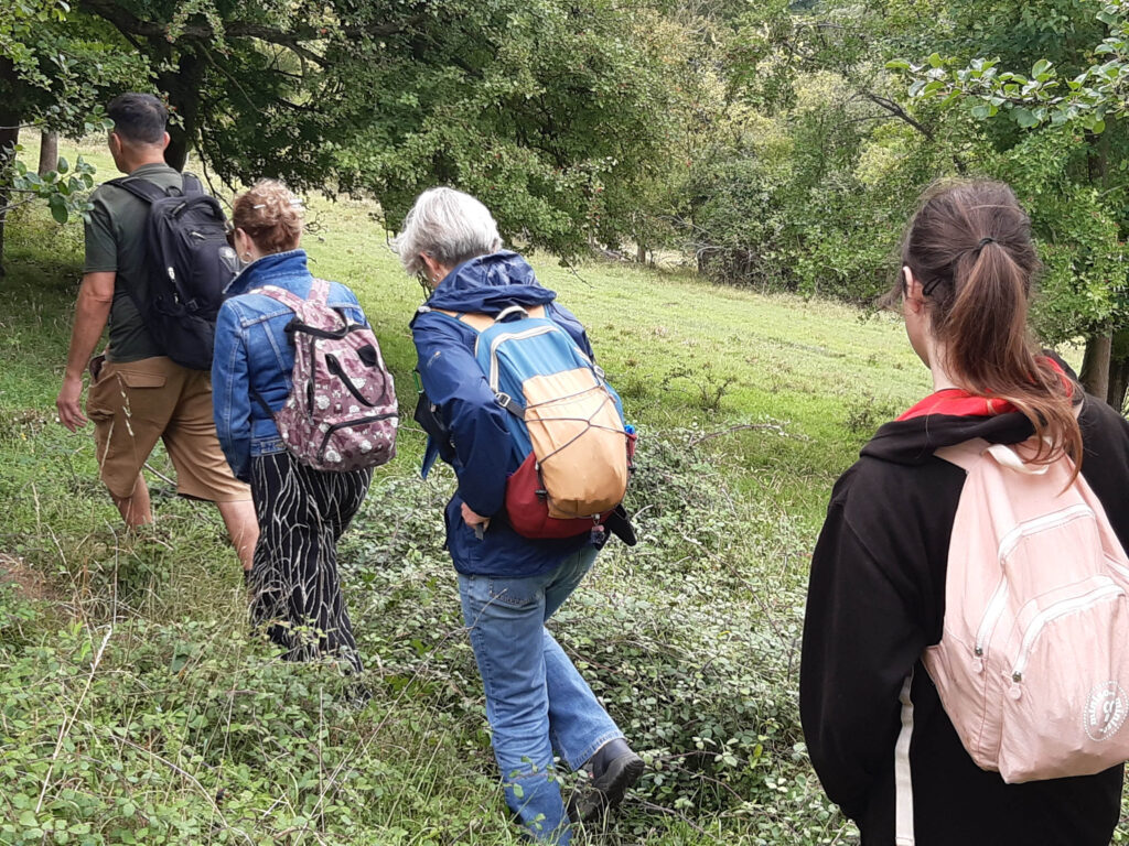
Our entire LWT volunteers group (well, everyone who wanted) took a day off work and travelled the tube, overground, and tram to get to New Addington. From the end of the tram line, we walked a few steps to Hutchinson’s Bank.

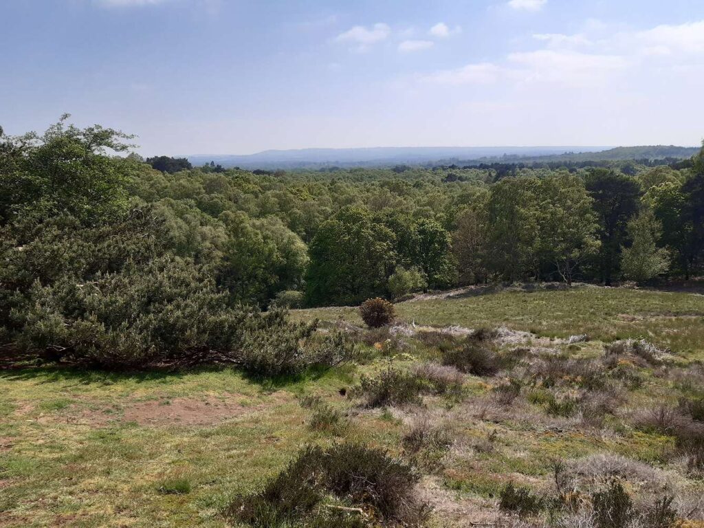
This is the start of the group of beautiful and quiet LWT reserves that line this part of the warm south-facing scarp slope of the chalk of the North Downs.

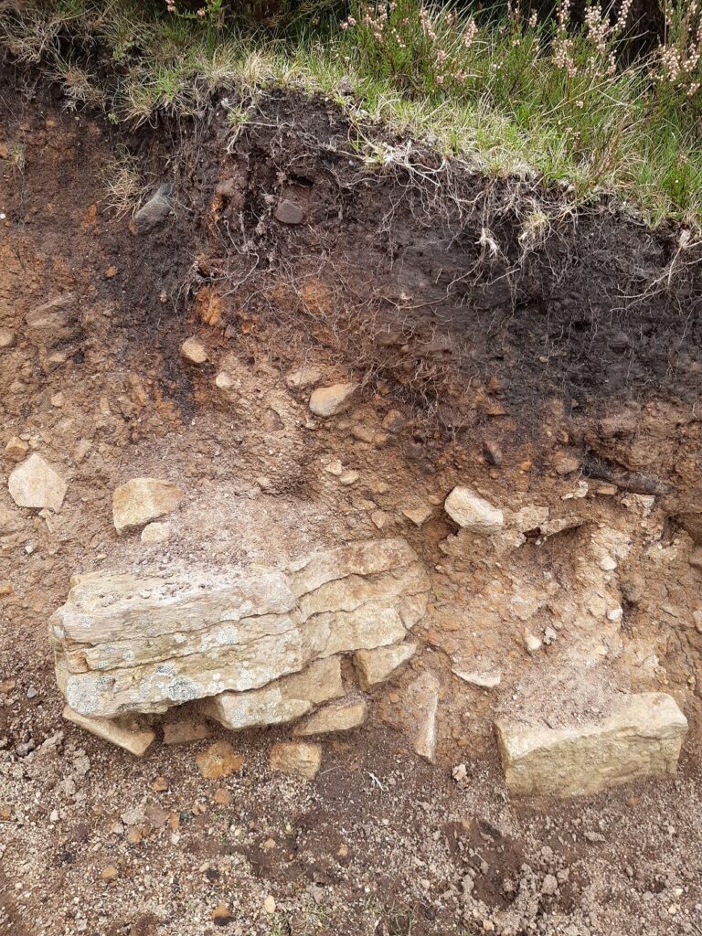
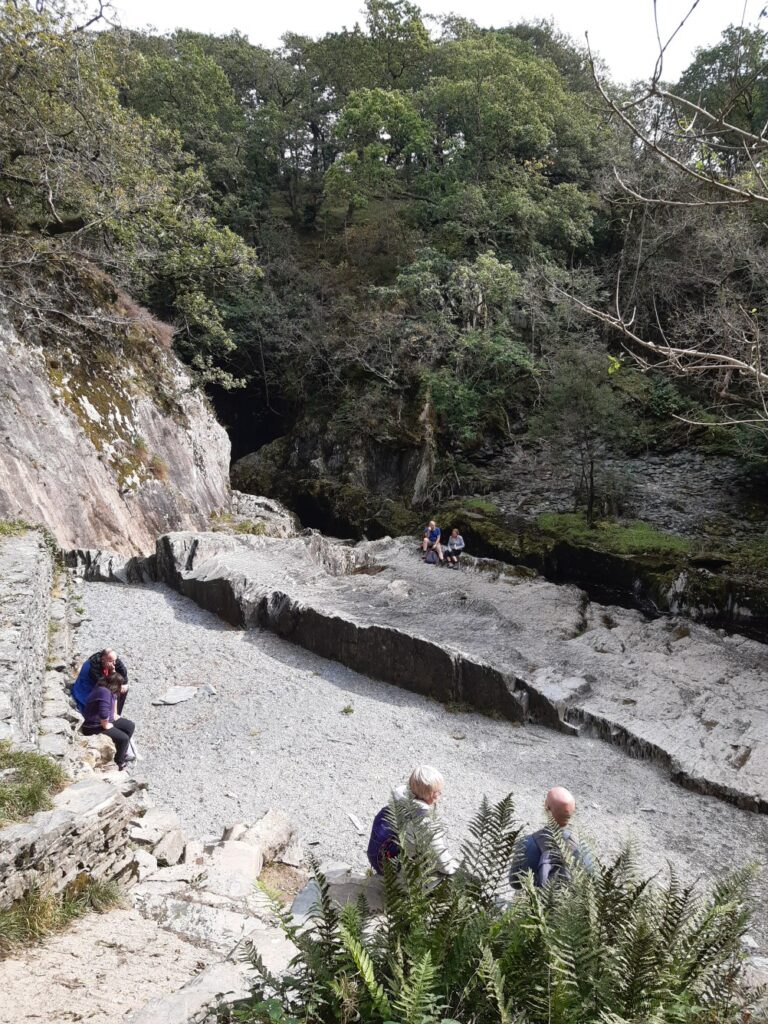
The chalk formed as the tiny shells of marine algae (coccolithophores) rained down on to the seabed of a warm shallow sea during the Cretaceous period. The upper chalk here formed 100 to 66 million years ago. It then hardened, and was eventually crumpled by tectonic movements to form a ridge above what is now the Weald of Kent and Sussex. That ridge eroded away, leaving a north-facing scarp on the South Downs, and the south-facing scarp of the North Downs that we were standing on.

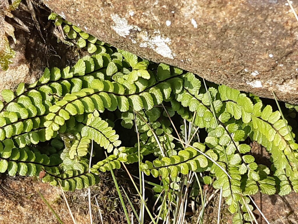
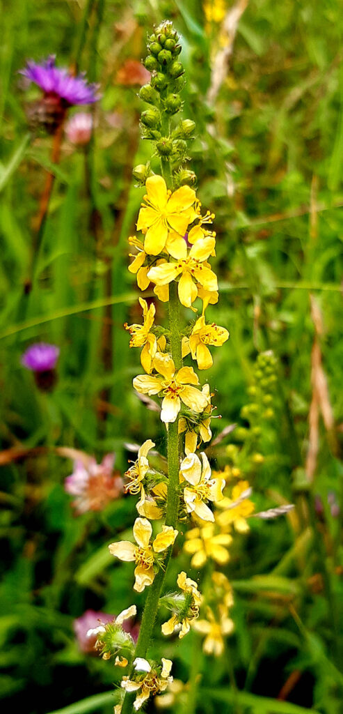
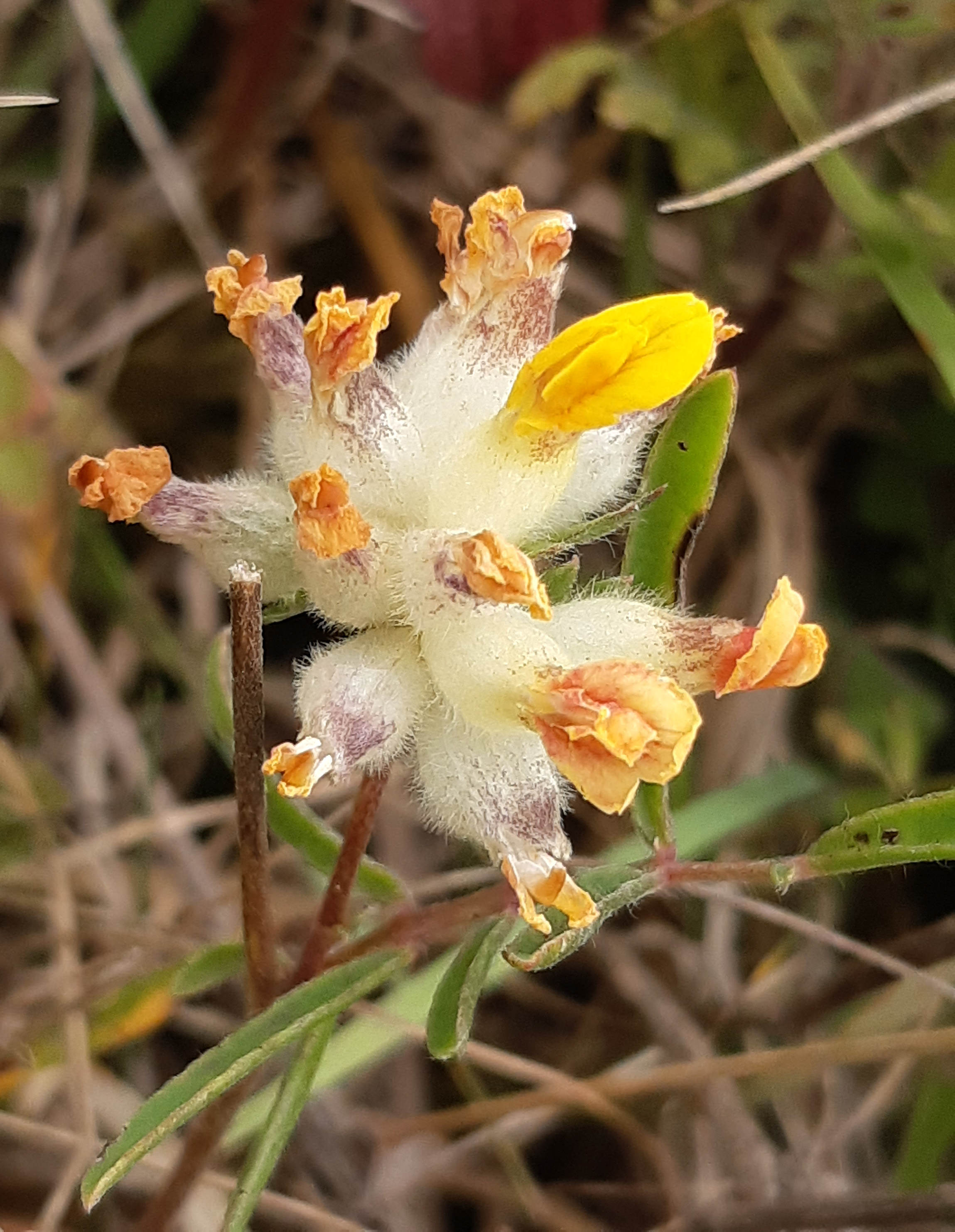
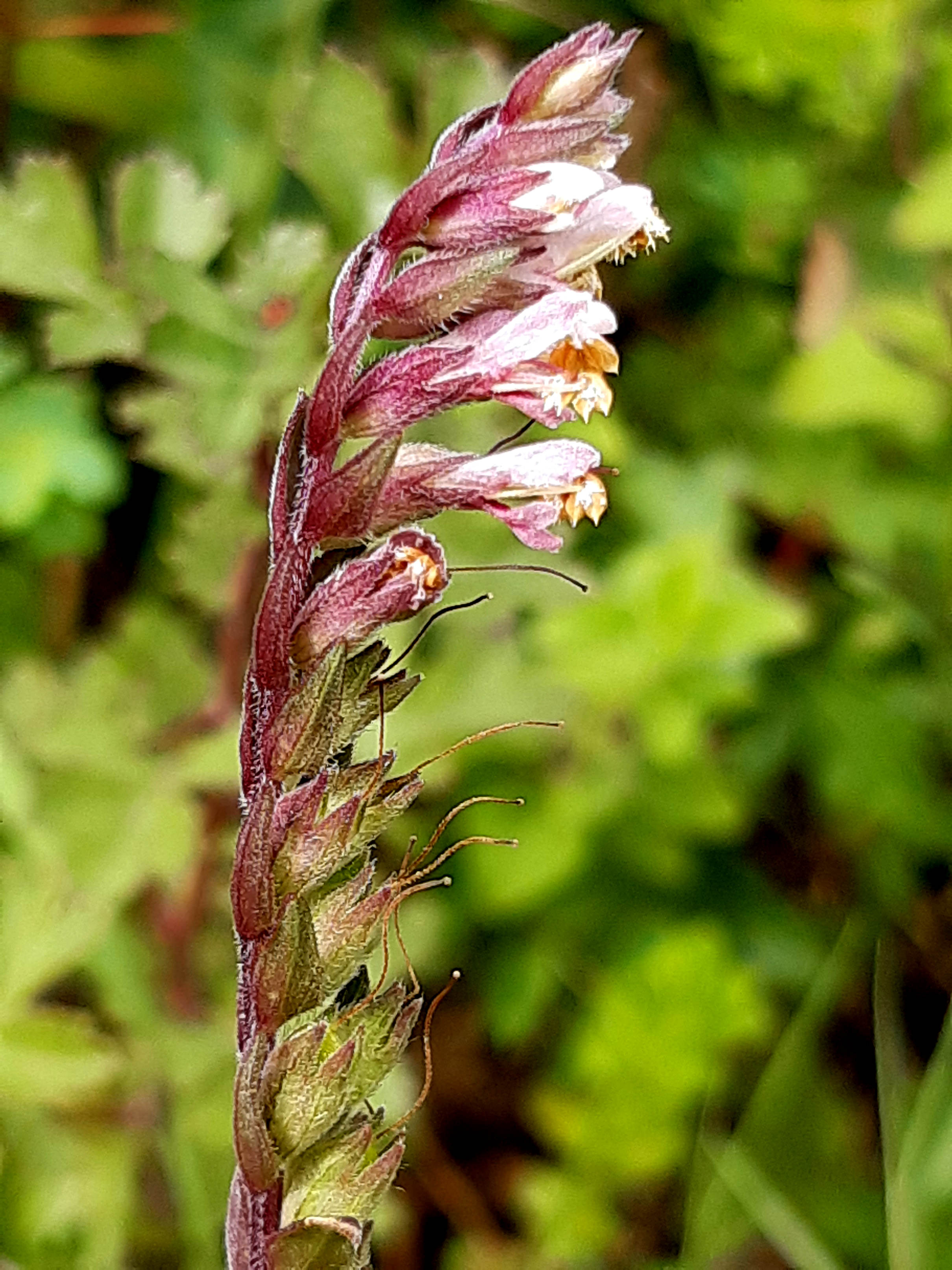
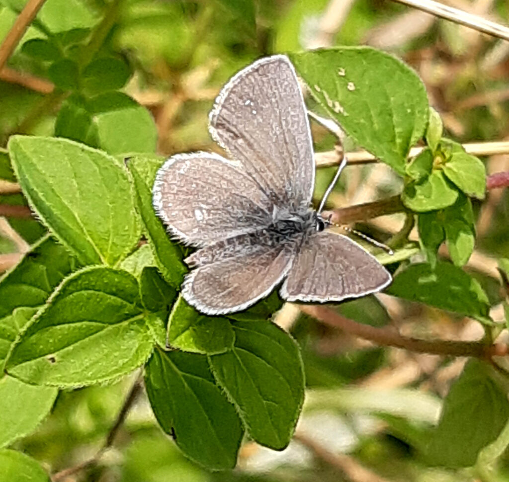
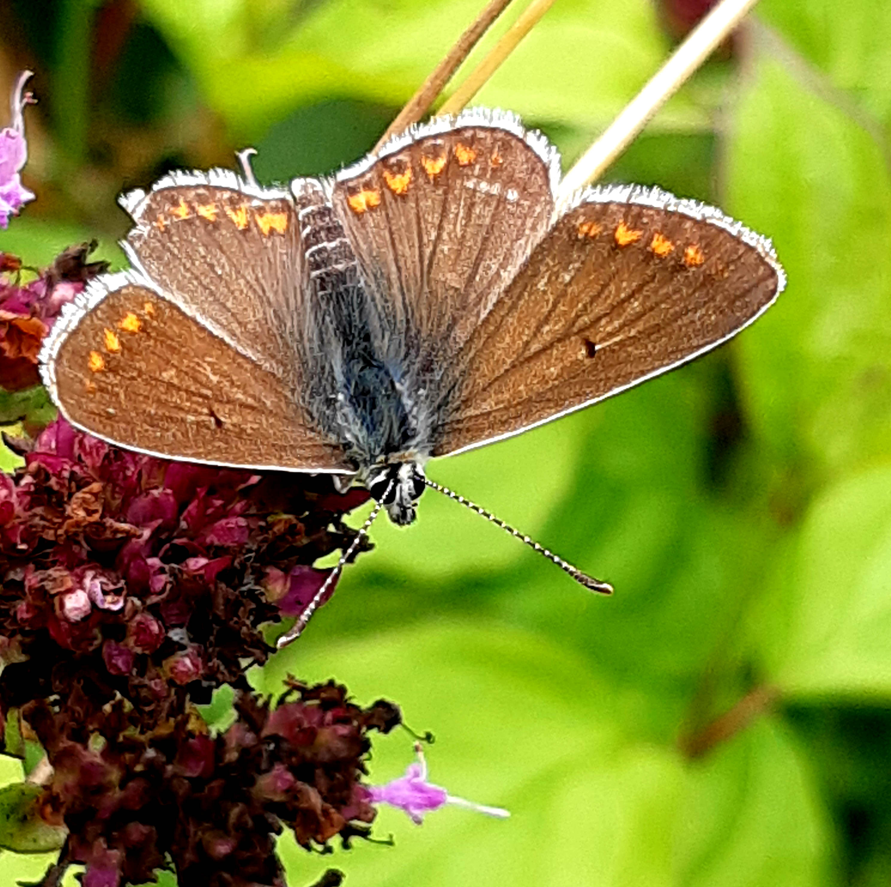
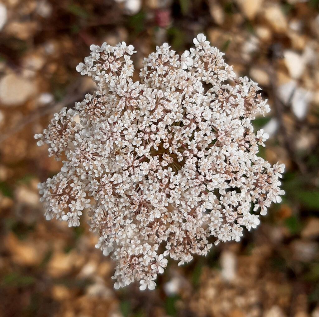
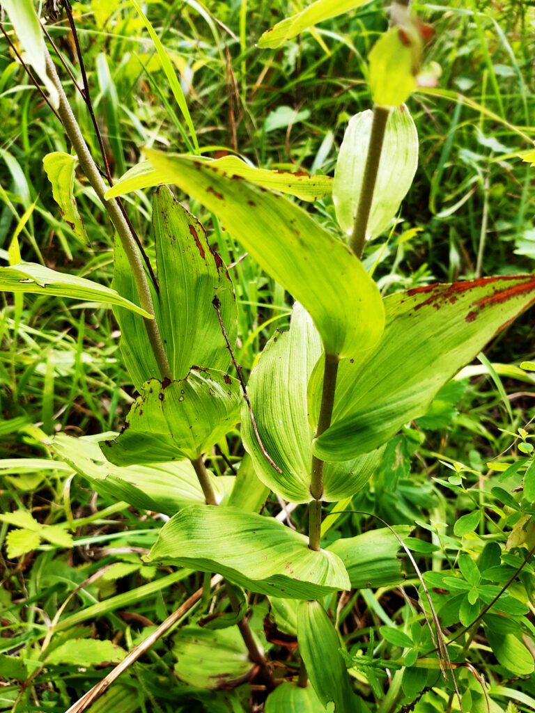
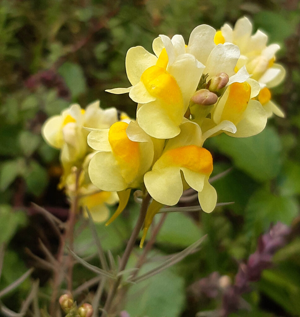
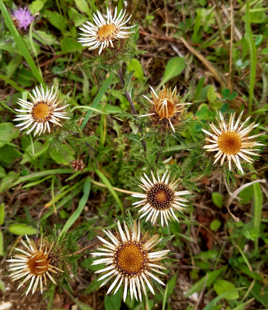
The chalk is a soft limestone, rich in calcium, which makes the soil on it basic (alkaline), unlike the neutral or acidic London Clay and Thames Flood Gravels. The resulting soil is a thin, free-draining Rendzina on steep slopes, and a thicker Brown Earth in the valleys. These support a wealth of flowers such as Marjoram, Scabious, and several Orchids that like an alkaline soil. Those in turn support many species of butterfly; Andy says there are 40 species on the local list.

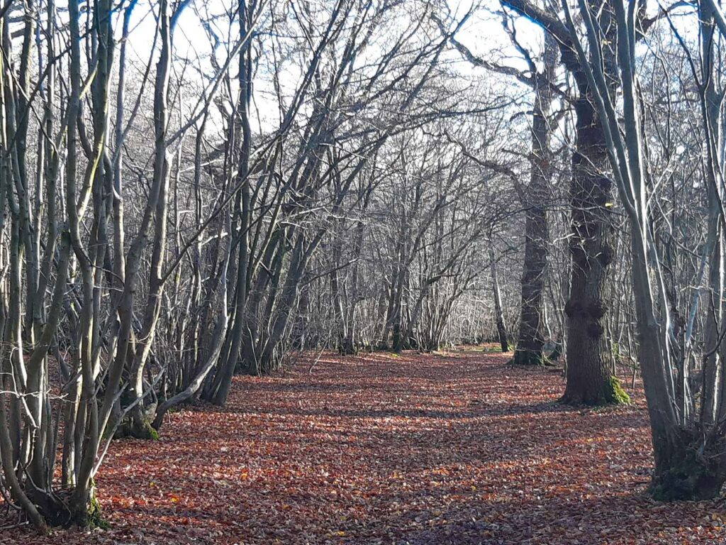
We strolled eastwards through the woods and chalk grassland of Hutchinson’s Bank, down the slope and through the wood of Three Corner Grove, and across the road to the third reserve, Chapel Bank.

The area is a few miles west, but on the same chalky slopes that Darwin visited from Down House: Down Bank and the little hill he called ‘Orchis Bank’ where he found specimens, and most famously described as a “tangled bank” in his 1859 book The Origin of Species.

Oh, all right then, here’s his description. You can decide for yourself if the chalk hills of the North Downs led him to devise his theory of evolution by natural selection:

  • It is interesting to contemplate a tangled bank, clothed with many plants of many kinds, with birds singing on the bushes, with various insects flitting about, and with worms crawling through the damp earth, and to reflect that these elaborately constructed forms, so different from each other, and dependent on each other in so complex a manner, have all been produced by laws acting around us.

I gave a brief introduction to the geology, soils, and ecology; Andy did the same for the butterfly fauna.

To see the images uncropped and at full size, open them in a new tab or window.

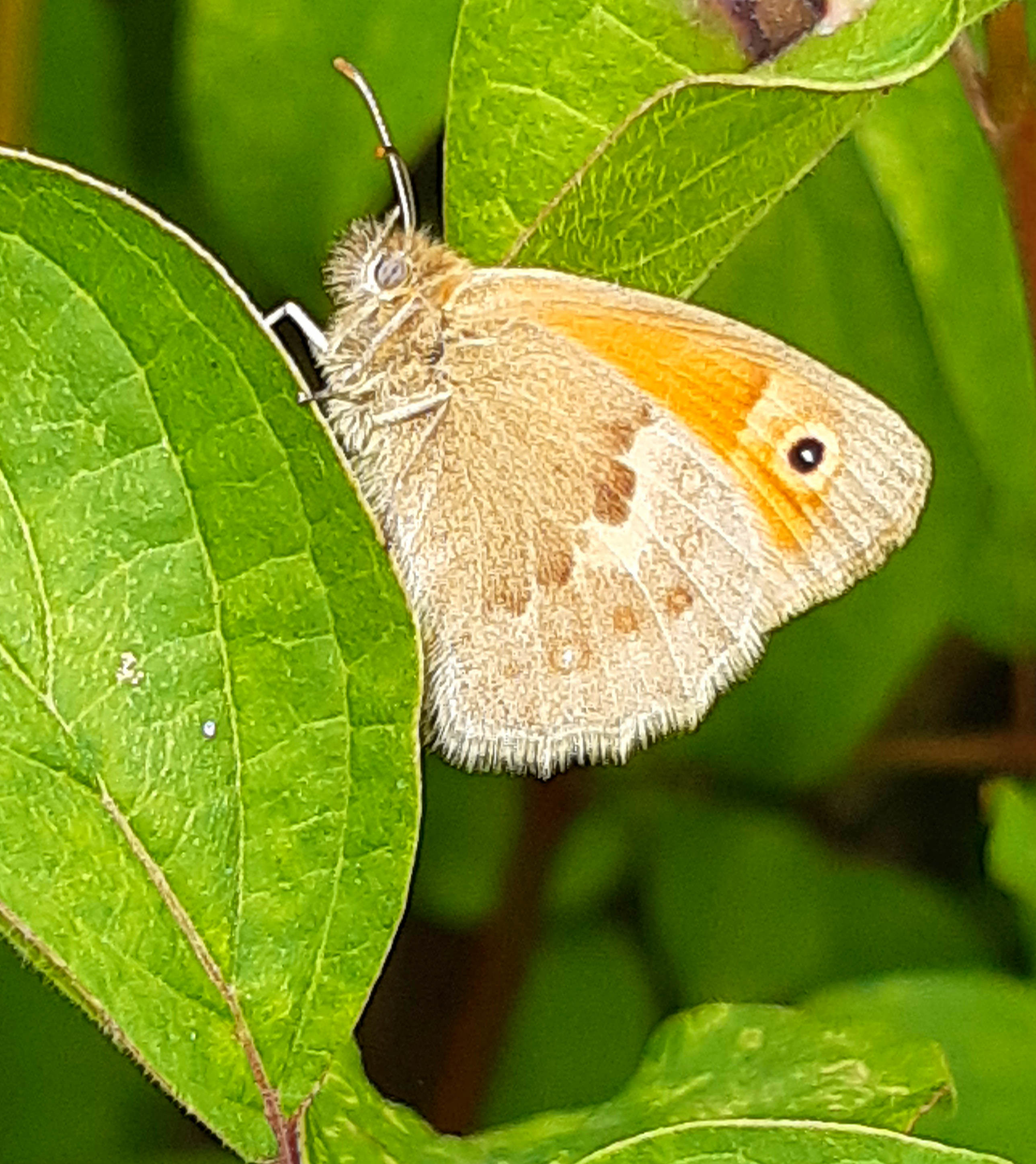
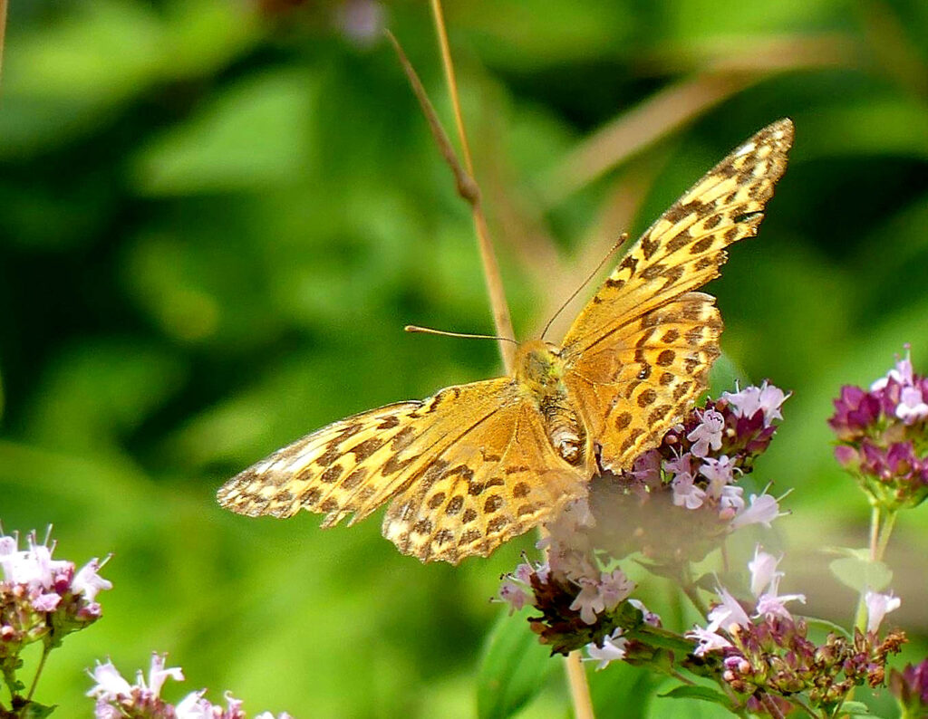
There was great excitement among the butterfly enthusiasts in the group when a large orange-brown butterfly flew past with the strong purposeful flight of a Fritillary. Two species, the Silver-Washed and the Dark Green, are native to the area; they are larger than the introduced or “escaped” species, the Glanville, Heath, and Marsh Fritillaries which can also be seen here.

Eventually, amidst much stalking of the first specimen, which proved to be a Silver-Washed, three more of that species came by, chasing each other about, and then obligingly landing on some of the abundant Marjoram which was aromatically in flower and nectar among the grass.

Here’s Andy’s photo of one of them.

Silver-Washed Fritillary on Marjoram, taken by Andy

Tree Pipits and Cuckoos!

Tree Pipit singing sweetly. Its perch has been well drilled by Woodpeckers.
Wide views over heath, hill, and woodland as far as the eye can see: Puttenham Common from Hillbury Hill Fort
The Tarn on Puttenham Common, a remarkably big body of water surrounded by beautiful Oak – Birch – Holly forest
An enormous coppice stool of Holly, a most surprising tree to find coppiced, beside the main forest track running north from the Tarn. It must be ancient to have grown to such a size.
A fabulous big moss, I think Atrichum
Another gorgeous big moss, surely Polytrichum

Winter mist at wraysbury lakes

Morning sun through the mist over the Colne Brook
Goldeneyes, winter ducks here, down from the far north where they breed. The two black-and-white males in the centre are bobbing their heads (and throwing them over their backs, not shown), a small echo of their courtship display.

Among the wonderful moments on this walk: a heron gave its cronking call and flapped slow over the water; a plane passed behind three cormorants drying their wings, perched on the branches of a dead tree; a group of goldeneyes panicked and pattered across the lake, gaining speed for takeoff, giving their high-pitched call, the waves sparkling in the slanting sunshine; a song thrush tentatively singing its repeated music; a solitary fieldfare.

Teasels and wet thornbushes glistening in the low sun

Barden Moor, Yorkshire Dales

Lower Barden Reservoir, constructed in the 1880s by Bradford Corporation Water Works

Barden Moor is an extensive water catchment area, on acidic rock (Millstone Grit), providing soft drinking water to the city of Bradford. The area is part of the ancient Bolton Abbey estate, and is now also in the Yorkshire Dales National Park. It’s covered in heather and moorgrass with areas of meadow and bog pools. It’s a fine place for an open airy walk away from the sometimes busy mountaintops, and a wonderful spot for nature.

Apricot Club, Clavulinopsis luteoalba. The fungi are yellow all over, but some look white in the bright light. The clubs are quite broad, unlike the slim spindles of C. fusiformis.
The grooved Earthtongue, Geoglossum cookeanum
Persistent Waxcap, Hygrocybe persistens
Blackening Waxcap, Hygrocybe conica
Like much of Britain’s uplands, the land is managed by muirburn, controlled burning of the moorland, to encourage new growth of heather, mainly Ling, which is the principal food of Red Grouse, and is also nibbled by the hardy upland sheep, which of course prefer open areas with grass to tall woody bushes. The thin ash-grey subsoil (Podsol, Russian for ash-soil) can be seen on the trackside bank.
Podsol on top of Millstone Grit, the local rock. The soil is black and slightly peaty with plant material at the top, then quickly turns to a poor subsoil with sand and fragments of rock, and then not very far down, actual bedrock.
Rowan (Mountain Ash) in full fruit
Maidenhair Spleenwort, Asplenium trichomanes, a beautiful small fern of rocks and walls
This seems to be a Dapperling; I’d have said it was Lepiota hystrix except that that’s a woodland species. Suggestions?
One of the Cladonia ground-living lichens of the ‘reindeer moss’ group.
This one might be C. portentosa, which likes acid moorland.
Dog Lichen, Peltigera canina, a lichen of sandy moorland.
A handsome crustose lichen on rock, cf. Ochrolechia.
Common Frog among the tiny cowberry bushes

On Ilkley Moor (Baht ‘At)

Well, I haven’t lost my ‘at courting Mary Jane on Ilkla Moor, but here I am not wearing it, atop the Cow Rock, with the Cow and Calf inn behind me. Very happy to be able to get out of town, finally, for a holiday; to be in beautiful countryside; and (even though it’s October) to be in wonderful shirtsleeve weather at 21 Celsius. It doesn’t happen every day.

Awesome nature Walks in lancashire and the yorkshire Dales: 3. Ingleton Waterfalls

Some of the many beautiful waterfalls, pools, and rapid swirling course of the river Twiss on the Ingleton Waterfalls Trail

The Ingleton Waterfalls Trail is on private land, with a fee that includes car parking (it was £7 per person when we did it). The trail has been made one-way for the Covid crisis to enable social distancing, so the only current route is from the car park at Ingleton, up the valley and gorge of the little River Twiss, across the windy moor at the top, and down the gorge of the River Doe back to Ingleton. It’s about 8 kilometres, 5 miles, and takes most people about three hours, as there’s quite a bit of uphill walking and a lot to look at, listen to, and photograph, sketch, or paint according to your taste.

Where much of the Yorkshire Dales scenery is (white) limestone, the rocks here also include reddish sandstone and striped bluish or greenish shale and slate. The sandstone is a hard, massive, blocky rock that causes the rivers to run in narrow gorges. The slate, like the slates on many local rooftops quarried from the area, is a hard, waterproof, compressed (metamorphosed) rock that splits into flat sheets at an angle to the layers of mud from which it was originally formed; it forces the rivers into waterfalls. The rocks are up to about 500 million years old.

The walk begins up through the pretty wooded Carboniferous limestone “glen”, with a canopy of Ash trees and undershrubs especially of Hazel. The forest floor is carpeted with Bluebells in wet places, Dog’s Mercury where it’s drier, and plenty of handsome mosses and ferns.

Polypody Fern by the River Doe

The valley narrows into a gorge, with the river swirling with natural foam in interesting vortex streets against the dark brown peaty water. The foam is created by the action of the waterfalls on soapy chemicals from moorland plants; there is no pollution here.

The five Pecca Falls are already spectacular to eye and ear; I had fun making a video of the rushing water from two converging falls.

Up at the top is Thornton Force — the Norse word for waterfall is “Fors”, so this is another instance of Viking influence, along with familiar local placename elements like Dale from Norse “Dal”, valley and all the towns and villages whose names end in -by, from “By”, village. It is an attractive place for a picnic, sheltered from the wind, with the beautiful fall and nice flat rocks to sit on.

The path climbs out of the now very small Twiss valley, and crosses the open moor eastwards to the valley of the River Doe.

Adiantum, Maidenhair fern

The path winds down quite steeply, while the river is sometimes so deep in its narrow gorge that you can’t actually see down to the water! There are more attractive waterfalls, and several slate quarries: you can see exactly where the quarrymen split off flat slabs of rock.

An old slate quarry forms an attractive spot for a picnic (or just a little rest); the River Doe is in a narrow gorge behind the seated visitors, while the foreground shows where slates were split from the bedrock.

The path drops into Ingleton with its cosy shops, cafes and restaurants, not to mention its impressive but disused railway viaduct high above. Just keep going downhill to cross the river at a low stone bridge, and the car park is right around the next corner.